- English
Languages:
This site is created using Wikimapia data. Wikimapia is an open-content collaborative map project contributed by volunteers around the world. It contains information about 32727604 places and counting.
Learn more about Wikimapia and cityguides.
Mynagappally
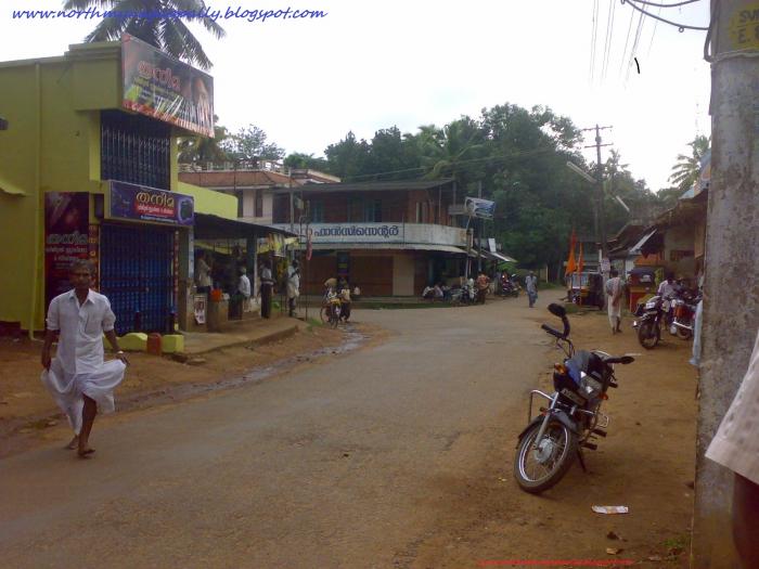
As of 2001 India census, Mynagappally had a population of 39336 with 19207 males and 20129 females. Mynagappally is located at kunnathoor taluk of Kollam District. Its location is 7 km east of Karunagappally town and 6 km west of Sasthamcotta town. Sasthamcotta railway station is in this village. Its western border is separated by Pallikkal River from Thodiyoor panchayath. Mynagappally panchayat sharing its south border with Thevalakkara Panchayat, North side with Sooranad panchayat and east with Sasthamcotta panchayat.
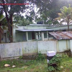
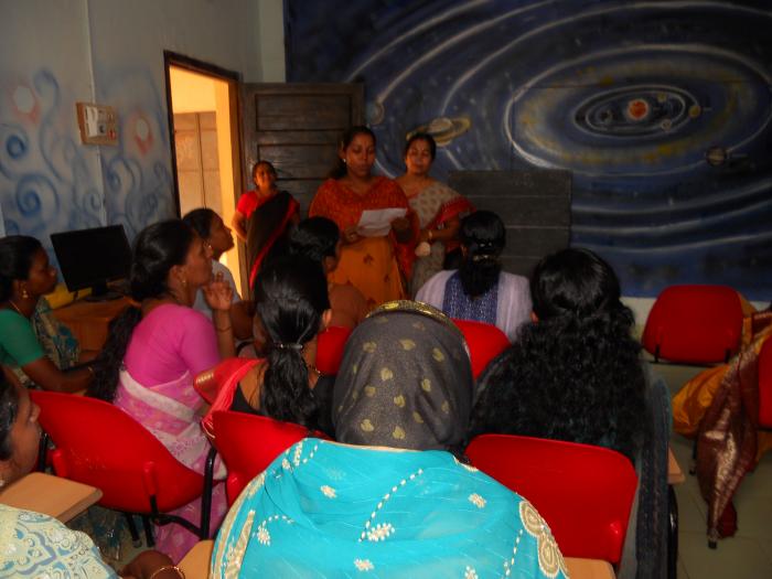
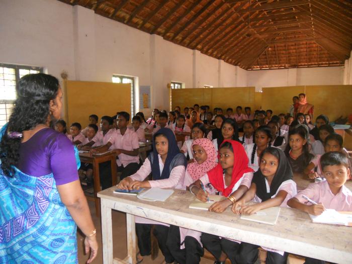
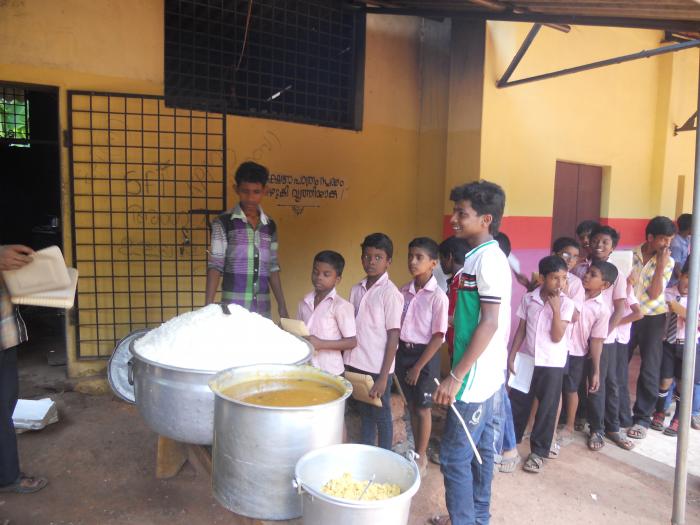
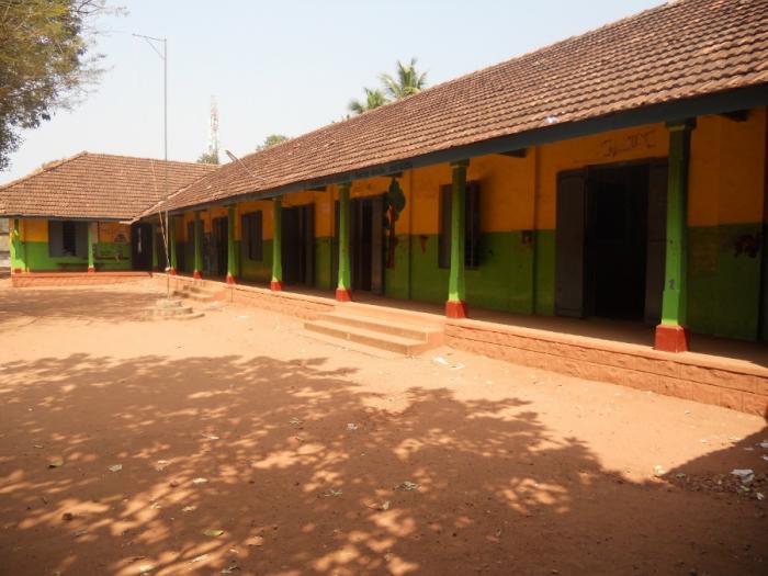
This is one of the beautiful village in Kerala, filled with paddy fields and cocunut farms. This panchayat have several industries - cashew factories (7 factories), brick industry, tiles industry, coir industry, mach box industry, etc.There are four main market places in this village.Several educational institutions and hospital facilities are here.
Wikipedia article: http://en.wikipedia.org/wiki/Mynagappally
As of 2001 India census, Mynagappally had a population of 39336 with 19207 males and 20129 females. Mynagappally is located at kunnathoor taluk of Kollam District. Its location is 7 km east of Karunagappally town and 6 km west of Sasthamcotta town. Sasthamcotta railway station is in this village. Its western border is separated by Pallikkal River from Thodiyoor panchayath. Mynagappally panchayat sharing its south border with Thevalakkara Panchayat, North side with Sooranad panchayat and east with Sasthamcotta panchayat.
This is one of the beautiful village in Kerala, filled with paddy fields and cocunut farms. This panchayat have several industries - cashew factories (7 factories), brick...
 Reduce description
Mynagappally on the map.


Recent city comments: